

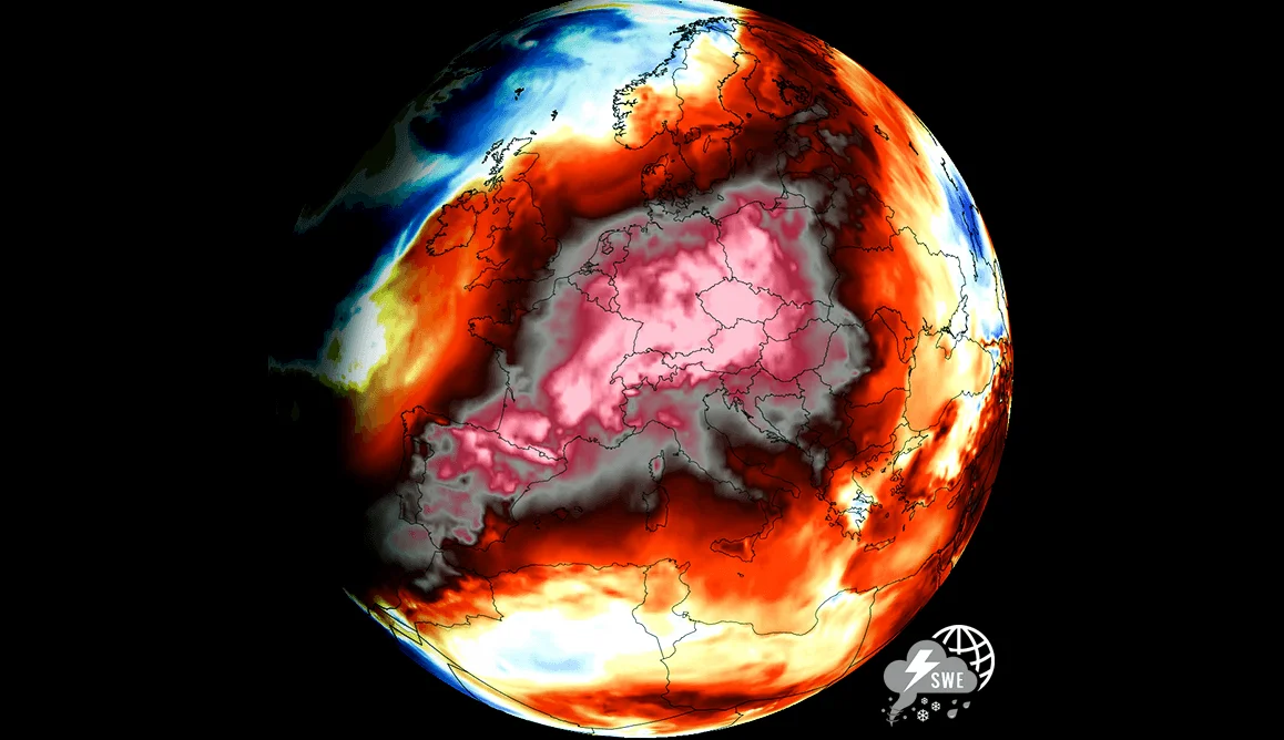
A heat dome is trapping dangerously hot air over the U.S. and Europe, causing record-breaking temperatures and increasing the risk of wildfires, according to multiple weather reports. The phenomenon acts like a lid on the atmosphere, locking in heat for extended periods and intensifying drought and fire conditions.
Heat dome impacts across the U.S. and Europe
In the U.S. ., a heat dome over the Texas Panhandle is expected to push into the Southwest by late week, with temperatures soaring to 100–111 degrees Fahrenheit, according to AccuWeather meteorologist Chad Merrill. Southern California’s deserts could see 110,120 degrees, with the San Joaquin and Sacramento valleys also hitting the lower 100s; these temperatures could be the hottest of the year for many areas.
Across the Atlantic. Europe is also bracing for extreme heat; Germany and France could see temperatures up to 40 degrees Celsius, with France already recording 46 degrees in some areas. Meteorologist Jan Schenk said the heat is “100 percent certain” to reach Germany, particularly the Saarland, Frankfurt, and the Oberrhein region — the heat dome is expected to linger for at least a week before possibly subsiding.
Wildfire risks and ecological impacts
High temperatures and dry air from the heat dome are increasing wildfire risks, especially in the U.S. and southern Europe. In the U.S. ., the risk is very high east of the Cascades in Washington and Oregon and north into British Columbia, where large wildfires are already burning, according to AccuWeather. In France. Tinder-dry forests and southern Spain are under extreme fire danger, with weather models predicting up to 45 degrees Celsius in some areas.
Spain and France have already seen record-breaking May temperatures this year, with Bergerac hitting 34.7 degrees and Paris exceeding 30 degrees for the first time this year. The French meteorological agency issued heat alerts for eight regions, calling it an “unusual and prolonged early-season heat wave.”
Future outlook and El Niño influence
Meteorologists are watching for a possible second heatwave in July, with a 39 percent chance of another round of extreme heat following the current one; In August, the influence of El Niño could bring further high-pressure systems and potentially hotter weather, according to weather models. A typical El Niño pattern could involve low pressure over the British Isles and high pressure over Southeastern Europe, leading to more humid and hot conditions.
Spain’s Alicante region, which briefly experienced relief from the heat, is expected to see temperatures rise again to nearly 40 degrees as a new heat dome forms. The Climatology Laboratory at the University of Alicante has warned that temperatures will rise “considerably,” with Saharan air masses expected to contribute to the warming trend.






Comments
No comments yet
Be the first to share your thoughts