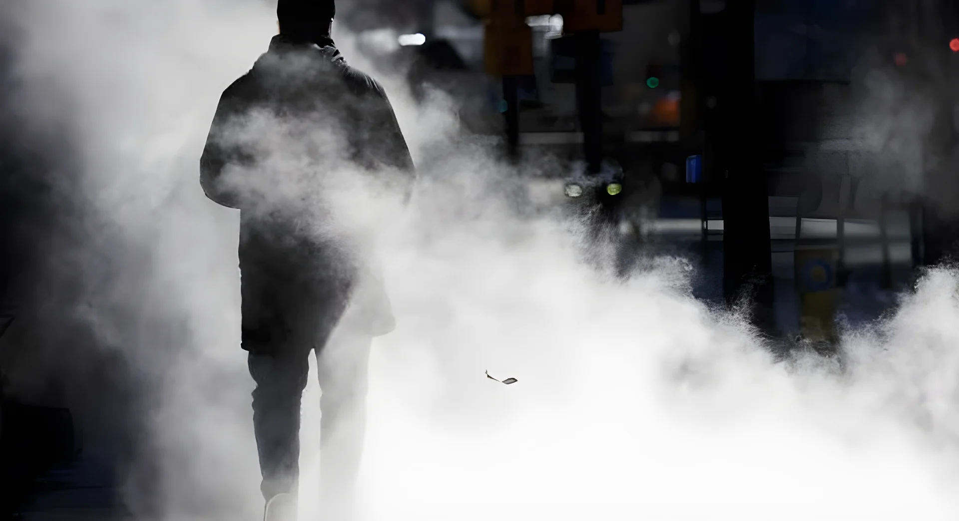
After months of persistent snow, deep freezes, and Arctic blasts, many Ontarians are feeling the fatigue of a winter that refuses to let go. According to Global News chief meteorologist Anthony Farnell, the prolonged cold and snowfall totals are not just unusual but have been felt across southern Ontario for much of the season.
Winter’s Unrelenting Grip on Ontario
“It’s definitely not your imagination,” Farnell said. “It has been a long go across southern Ontario.” Snow arrived before Christmas across much of the region, followed by weeks of persistent lake-effect snowfall through January. This pattern, combined with multiple deep freezes and freezing rain, kept snow on the ground for months, with little opportunity for a sustained thaw.
“We had that spell of lake effect where it was almost just consistent, day after day,” Farnell said. “Then those cold snaps just solidified whatever was out there.” In cities like Toronto, this winter is now ranking among their snowiest on record, while others, including London, did not break records but still felt the strain of a prolonged season.
Toronto was buried under roughly 80 centimetres of snow over just a few days in late January after a powerful system brought record-breaking totals across the region. Environment Canada reported 61 cm fell in downtown Toronto in a day, which is among the highest totals ever recorded in the core, while 46 cm was measured at Toronto Pearson airport, marking its snowiest day on record.
Great Lakes Ice Coverage Influences Snowfall
One of the defining features of this winter was the extent of ice coverage across the Great Lakes. Lake Erie reached about 97 per cent ice coverage at one point, while ice built up across Lake Huron and Georgian Bay before shifting later in the season. That ice coverage directly influenced snowfall patterns.
“When ice is there, you don’t have the same lake-effect snow,” Farnell explained. Despite brief stretches of mild weather earlier in March, Farnell says winter isn’t finished. “There’s still a lot of Arctic air across Northern Canada, so it doesn’t take much for that to make its way south,” he said.
Despite the calendar turning to spring Friday, Farnell says these circumstances will cause winter conditions to linger on a bit longer. According to the Weather Network, a system is expected to move through the province in the coming days and will bring heavy snow, icy precipitation, and hazardous travel conditions.
The Great Lakes winter storm is expected to slam parts of Ontario with strong winds and potentially bury some communities under as much as 50 centimetres of snow, despite the start of spring being just days away. “We’re going to be fooled at least two or three more times,” Farnell added, noting that a true spring warm-up likely won’t arrive until May.
El Niño and the Road Ahead
Looking ahead, Farnell says this winter doesn’t offer a clear signal for spring or summer, with lake temperatures and ice coverage currently near average. Instead, attention is shifting to a developing El Niño, which could shape weather patterns in the months ahead.
“If it becomes a strong El Niño, you typically see a jet stream farther north … warmer, wetter conditions,” he said. That could mean a hotter summer, along with more frequent thunderstorms driven by passing cold fronts and lake breezes.
Farnell also points to record-breaking heat already developing in the southwestern United States—an early-season “heat dome” that could expand northward. “Once it gets hot, it can feed on itself,” he said. “Each day gets a little drier, a little hotter.”
But for now, Ontarians may need to stay patient as winter lingers a little longer. The ongoing weather patterns are not only affecting daily life but also having broader implications for infrastructure, transportation, and the economy.
The prolonged winter has placed additional strain on municipal services, with snow removal efforts stretched to their limits. Businesses, particularly those in the tourism and hospitality sectors, have also been impacted, with many reporting a decline in visitors due to the harsh conditions. Meanwhile, schools and public institutions have had to adjust schedules and operations to accommodate the unpredictable weather.
Residents are being advised to remain prepared for more snowfall and cold snaps in the coming weeks. “It’s not over yet,” Farnell said. “We need to stay vigilant and keep our emergency plans in place.”
With the threat of further snowfall and icy conditions, the message is clear: Ontarians should continue to take precautions and stay informed about the latest weather updates. As the season transitions from winter to spring, the region is being reminded that the shift will not be immediate or smooth.


Comments
No comments yet
Be the first to share your thoughts