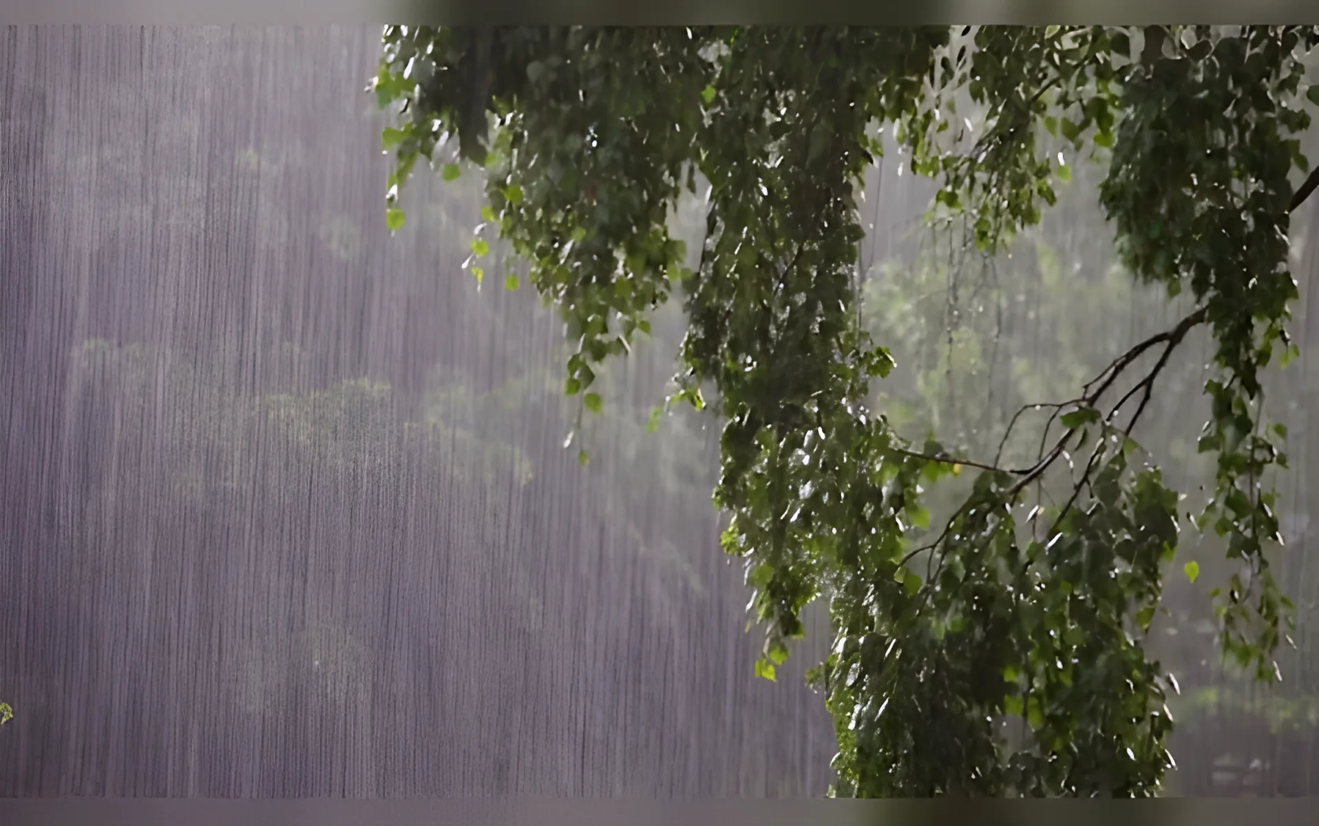
Delhi and the National Capital Region (NCR) braced for a pre-monsoon deluge as a powerful weather system unleashed heavy rain, thunderstorms, and strong winds across northern India. The India Meteorological Department (IMD) issued alerts for Delhi, Haryana, Uttar Pradesh, and Rajasthan, warning of showers accompanied by thunderstorms, sandstorms, lightning, and gusty winds of 30-40 km/hour. The system struck the region on the evening of March 18, causing disruption and prompting safety advisories for residents.
Impact on Trade and Daily Life
The sudden weather changes disrupted daily life in Delhi and surrounding areas. Commuters faced delays as roads became slick and visibility reduced. Schools and offices in several districts issued advisories for students and employees to remain indoors. According to local officials, the National Highway 8, which connects Delhi with Noida and Ghaziabad, saw traffic snarls as vehicles struggled to handle through waterlogged roads.
Public transport services were also affected. The Delhi Metro Rail Corporation (DMRC) suspended operations on certain sections of the network, citing safety concerns. Officials warned that the situation could worsen as the pre-monsoon system was expected to persist through the night, with the possibility of more thunderstorms and lightning strikes.
Residents of Delhi and the NCR were advised to avoid open areas and stay away from windows during lightning activity. The IMD had earlier predicted that the first spell of rain would reach Delhi and Gurugram between 6:15 and 8:30 pm, followed by Ghaziabad, Noida, and Faridabad between 6:30 and 9 pm. Meteorologists also warned of a very severe thunderstorm phase with heavy rain and possible hail between 5 and 7 pm, accompanied by wind speeds of up to 40 km/h.
Regional Impact and Wider Weather Patterns
The IMD’s warnings extended beyond Delhi and the NCR. In Haryana, towns such as Narwana, Jind, Panipat, Hisar, Rohtak, Bhiwani, Sonipat, Rewari, Mahendargarh, Narnaul, Nuh, Palwal, Jhajjar, and Charkhi Dadri were under alert. In western Uttar Pradesh, districts including Shamli, Bagpat, Baraut, and Khekra were also affected.
In Rajasthan, areas like Bhiwadi, Khairthal, Kotputli, and Tijara were included in the warning zone. The unsettled weather conditions extended further to the western Himalayan belt, where Kashmir and Uttarakhand experienced snowfall at higher elevations and rain in lower regions. Meanwhile, Punjab, Rajasthan, Madhya Pradesh, and Gujarat faced dust storms and thundershowers, adding to the complexity of the weather pattern.
Chhattisgarh, Odisha, coastal Andhra Pradesh, and several northeastern states saw separate rain systems driven by independent moisture activity. These weather systems, while distinct from the pre-monsoon system in northern India, contributed to a broader pattern of instability across the subcontinent.
The IMD has been monitoring the situation closely, with officials noting that the pre-monsoon system is part of a recurring pattern seen in previous years. Similar weather events had occurred in 2022 and 2021, prompting similar alerts and advisories in the region.
What Analysts Say and What’s Next
Experts at the Indian Institute of Tropical Meteorology (IITM) said the current weather system is a typical pre-monsoon phenomenon, often occurring in March and April as the region transitions from winter to summer. According to Dr. Anand Kumar, a senior meteorologist, the system is driven by a low-pressure area over the northwest and the convergence of moisture from the Arabian Sea and the Bay of Bengal.
“This kind of system is common in early spring, but the intensity can vary,” Kumar said. “This year, it seems to be stronger than usual, which may be linked to broader climatic factors like El Niño.”
The IMD has warned that the weather conditions may persist through the next few days, with further showers and thunderstorms expected in the coming week. Authorities are urging residents to stay updated with weather alerts and take necessary precautions to avoid any harm from lightning or sudden flooding.
Additionally, the IMD is monitoring the possibility of a prolonged spell of rain, which could lead to waterlogging in low-lying areas. Emergency services have been put on high alert, with rescue teams and flood control units prepared for any contingencies.
Residents are being advised to keep emergency kits ready, avoid driving in flooded areas, and stay indoors during thunderstorms. The government has also initiated coordination with local authorities to ensure that relief measures are in place should the situation worsen.
The weather system is expected to subside by the end of the week, but the impact on daily life and infrastructure will be felt for days to come. With the monsoon season still months away, this pre-monsoon madness has served as a reminder of the unpredictable nature of weather in northern India.


Comments
No comments yet
Be the first to share your thoughts