A powerful cold front swept into the north-western United States from the northern Pacific over the weekend, bringing unseasonably cold temperatures and snowfall at unusually low elevations. Temperatures from the Canadian border to California were 5–10C below average since Friday, with some areas more than 10C below normal; In the Rocky Mountains, snow fell as low as 1,800 metres on Sunday,far below the typical summer snow line of 3,300 metres.
Unseasonal Snow and Wildfire Risks
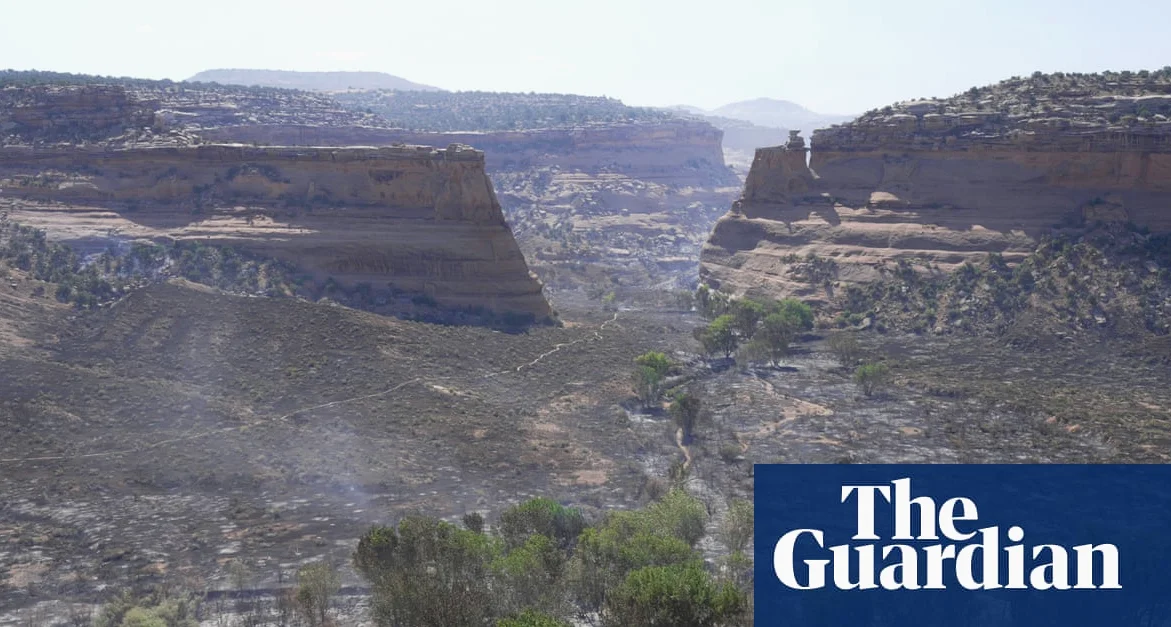
While the cold front brought relief from drought-stricken conditions with the first significant rainfall in weeks, it also raised wildfire risks, while Lightning strikes from the front sparked new fires, while high winds fanned the spread of existing blazes. In Utah. Colorado, and Arizona, where major wildfires were already burning, strong gusts moved north into Wyoming on Monday — the 2026 fire season is expected to be among the worst on record in terms of scale and number of affected areas.
Heatwave in Europe and Tornado in Russia
Meanwhile, central and northern Europe is bracing for a heatwave, with Germany and Poland expected to reach 40C (104F) on both Saturday and Sunday, while this follows similar extreme temperatures in France earlier in the week. In Russia’s Sverdlovsk region. A rare tornado rated a 3 on the Fujita scale hit the town of Kushva on 22 June, injuring 16 people and damaging about 100 homes and businesses. Forecasters suggest such events may become more common as the climate continues to change.
Heavy rainfall also struck parts of China, with Zengcheng near Guangzhou receiving more than 100mm of rain in three hours, but this comes during the Meiyu or plum rain season, which is common in south China from May to September. Such intense downpours can lead to flash flooding, mud flows, and rock falls in both mountainous and urban areas.
Arctic Cold to Hit Texas
Separately, Texas is preparing for a major cold snap this weekend, with a widespread winter weather event expected to impact much of the state, though Before the cold arrives, rain will spread across eastern Texas, including the Brazos Valley, with up to a quarter inch of rain expected. This system is not expected to bring severe weather, but it will offer a temporary reprieve from ongoing wildfire concerns. The real impact, however, comes late Friday with the arrival of a strong Arctic cold front, followed by a developing storm system to the southwest.
Authorities are urging residents to begin planning for travel disruptions and cold-weather preparedness. This is no longer a hypothetical scenario,conditions are now clearly trending toward a significant winter event, particularly for those in central and northern Texas.


Comments
No comments yet
Be the first to share your thoughts