

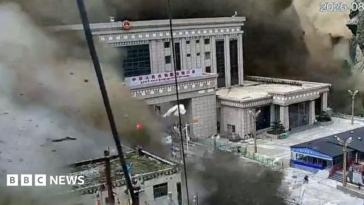
A massive landslide at 8:27am on Wednesday triggered a deadly flood wave that swept through the Nepal-China border area, according to CNN. The disaster, which occurred in the South Asian country, generated an explosive flood that continued into China and has left more than 1,000 people confirmed dead and thousands missing, according to authorities in both countries.
Final minutes before disaster
According to a woman CNN has given the pseudonym Lili, her husband, a Chinese national working on a construction project in Nepal, spoke with a friend just before the disaster. Since then, Lili has not heard from her husband, while the landslide, which occurred in the mountainous region, was followed by a surge of floodwater that devastated the area and claimed hundreds of lives.
BBC reported that a dark wall of water, mud, boulders, ice, and rock surged down the valley at 10:59:53 local time, as seen in CCTV footage. The area around Gyirong, on the Chinese side of the Nepal-Tibet border, and Rasuwagadhi, in Nepal’s Rasuwa district, were among the most affected; the Friendship Bridge linking Nepal and China was destroyed, as were immigration and customs facilities. The area is a historic travel route and an important gateway between Nepal and China, frequented by pilgrims, traders, and tourists.
Family concerns and rescue efforts
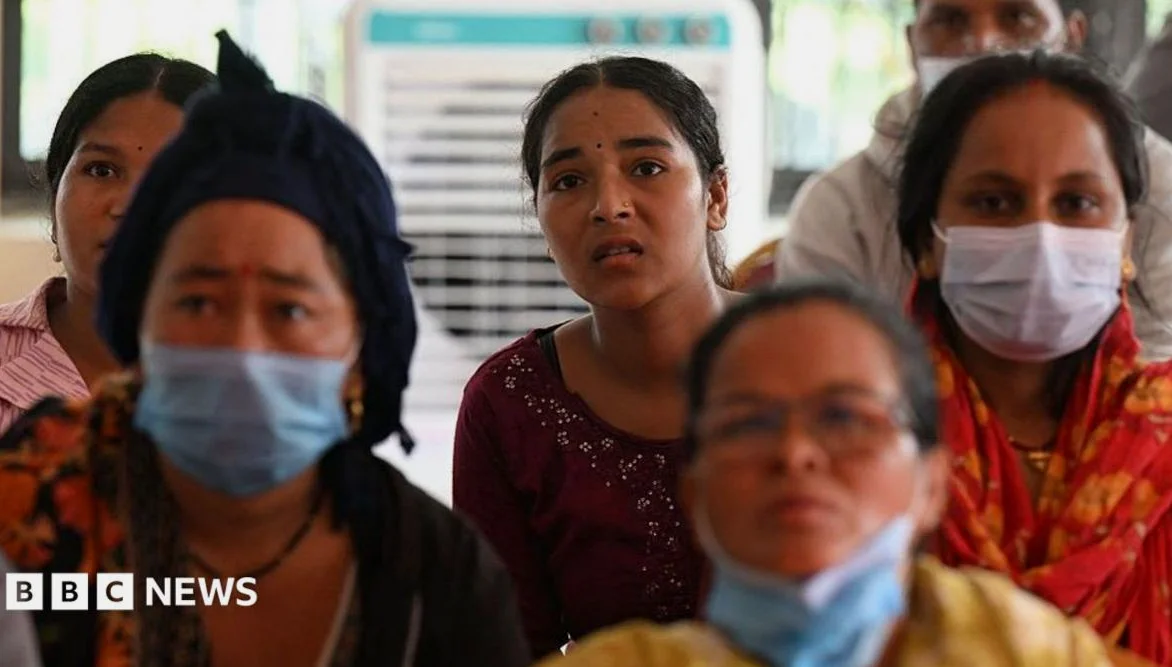
Families of the missing, including Chinese nationals, are desperate for information about their loved ones — Several family members traveled to Lhasa, the capital of China’s Tibetan Autonomous Region, to seek information from the state-backed construction firm employing their relatives. These families are urging the company to step up rescue efforts and provide more information about the progress of those efforts. They are also asking for local officials in Tibet to help expedite rescue operations at project sites in Nepal, according to a draft letter to authorities seen by CNN.
The destruction has left many families from both countries and around the world in a state of uncertainty. The area was also a popular route for international tourists, adding to the concern for those who may have been in the region at the time of the disaster.
Climate change and geological risks
According to EL OBRERO, the catastrophic flood that killed hundreds of people in Nepal on Aug. 26, 2026, and left many more missing likely began with falling ice and rock crashing into the river below. The destruction represents two of the ways rising temperatures, thawing permafrost, and melting ice are increasing the risk of destructive floods in the Himalayas and other high mountain regions around the world.
Evidence from satellites and seismic data suggests that an enormous mass of bedrock and glacier ice broke off a slope north of Langtang Lirung and questioned into the valley about 4,000 feet (1,200 meters) below. The landslide shook the earth hard enough to register as a magnitude 5.2 event on seismometers, the U.S. Geological Survey confirmed. The result was a slurry of melting ice, rock, and water that quickly flowed into the river — One theory is that the rock and ice briefly dammed the valley, allowing water to back up in the river. When that blockage broke, a wall of water rushed downstream—reaching towns, taking hundreds of lives, and destroying infrastructure.
Days after the initial disaster, a new lake pooled behind the debris and then burst, sending more water streaming through the valley; this highlights the increasing risks from climate change in the region. Ajay Dixit, a Kathmandu-based hydrologist, explained that the area is geologically vulnerable, characterized by deep gorges and steep rivers that flow at high velocity, carry heavy sediment, and can bring down huge boulders.





Comments
No comments yet
Be the first to share your thoughts